2022-01-23
BSGI Started the 3rd Batch of the Geographic Information System (GIS) for Professionals Training Course
Read more
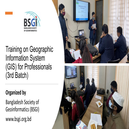
BSGI Started the 3rd Batch of the Geographic Information System (GIS) for Professionals Training Course
Read more
Bangladesh Society of Geoinformatics (BSGI) is a Professional Association of GIS, Remote Sensing and Photogrammetric Professionals in Bangladesh and abroad. BSGI aims to build capacity on Geo-informatics among governmental and non-governmental agencies and to guide and assist the proliferation of Geo-information technology and the sharing of ideas, information and knowledge among users, professionals and institutions.

The aim and purpose of the Constitution of BSGI is to promote geo-spatial technology and standards in the country; Support the creation and maintenance of general information dictionaries for access, use and maintenance by data storage and the establishment of national and local physical data infrastructure in Bangladesh.

